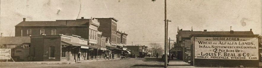
Imagine it’s 1887 and you want to go to Jetmore. You could have a long horseback ride, or you could climb aboard the stagecoach in Kinsley at 8 a.m. and arrive in Jetmore at 4 p.m. that afternoon. But just where was this trail that you’re traveling on?
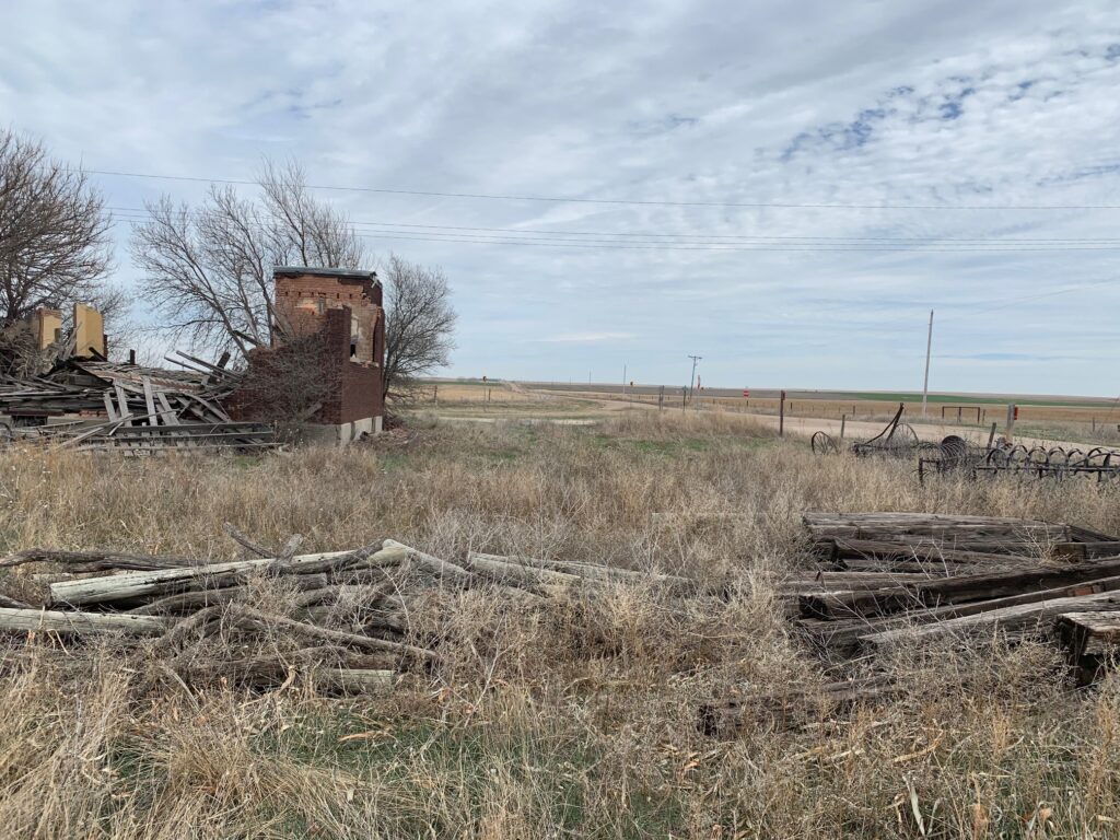
In 2016, the library hosted a winter series on immigration which included the early African American settlement of Morton City, located a few miles northeast of Jetmore. While researching, I found reference to the settlers’ arrival in Kinsley in a small book, “A History of Hodgeman County” by Margaret Haun Raser and Ina Rumford:
“A colony of negroes, made up in Kentucky, arrived in Kinsley in March, 1878 on their way to Hodgeman County. They experienced considerable difficulty in getting their horses released by the railroad because they had no money to pay the freight. When they were finally able to secure their property, they set out for their promised land on foot and on horseback, singing happily as they trudged along.”
An article in the Winter, 1989 issue of Kansas History described the immigrants in this manner:
“The settlers arrived with few supplies and very little cash. Since Kinsley … was the nearest depot to the proposed site, the colonists were set down there with no provision for shelter or transportation. They spent the first night huddled in the small schoolhouse, the only public building in town. They could see that just beyond the handful of buildings in the village lay the open prairie extending in an unbroken expanse….the colonists left their shelter to walk the thirty miles to what they believed would bring them a new and better life.”
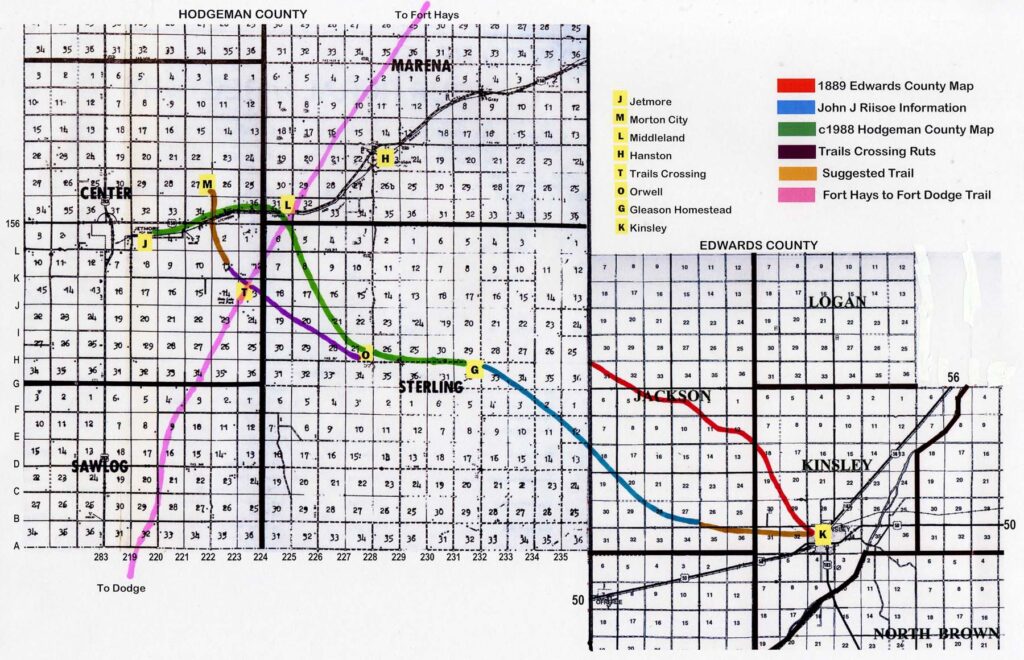
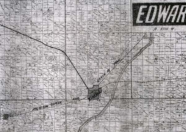
Because the railroad did not go to Jetmore, I was curious to know their route. Working with Rosetta Graff, we discovered an 1889 map on the wall of the courthouse. It showed a trail going diagonally from Kinsley to Jetmore. This interested me as roads in Kansas for the most part do not go diagonally.
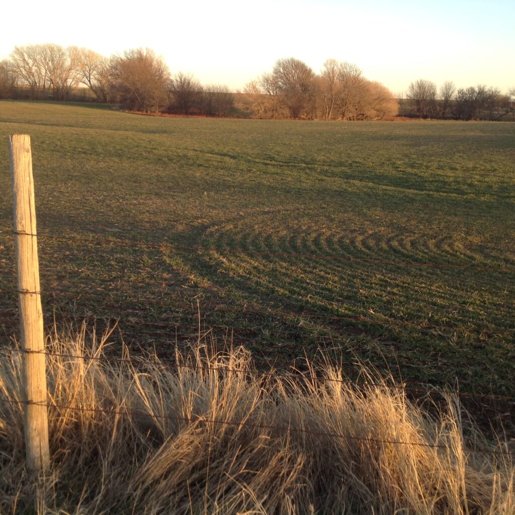
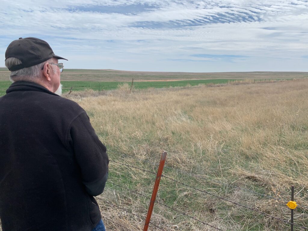
About that time, John J Riisoe informed us that the trail went through his property. He offered to give Rosetta and me a tour of the ruts and creek crossings. Pictures taken that day are available in John J. Riisoe’s oral history on the library website. As he pointed the trail out, I realized that we were not in the location depicted on the old map. Also the evidence of this trail had mostly been destroyed by cultivation. John J’s information confused us, but I drew in the trail he described on my map.
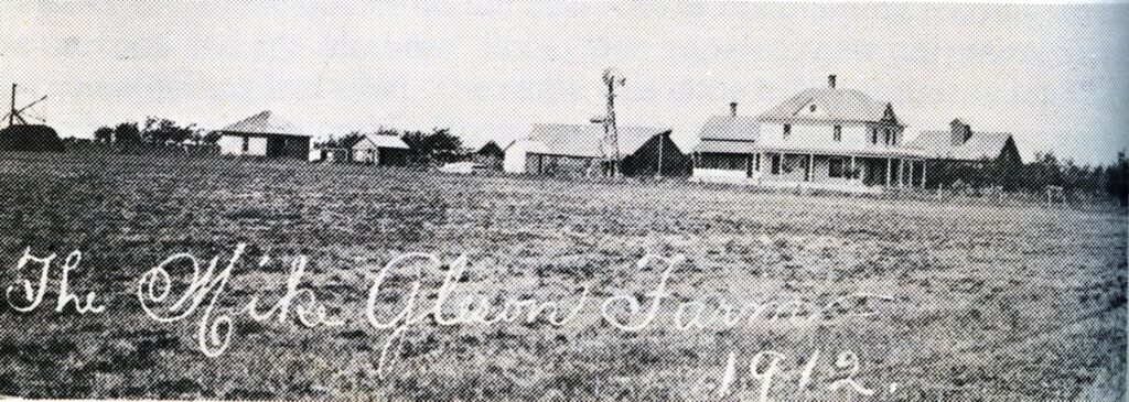
Julie Ackerman wrote in her Offerle History book that Mr. and Mrs. Dan Gleason and their five children also had come to Kansas in 1878. Their Single Bar Ranch is pictured and described as a “stopping place for many a traveler between Jetmore and Kinsley.” I placed this known trail site on my map.
Rosetta and I then made a trip to the Hodgeman County Museum in Jetmore to see what information they might have. At that time, they could not help us. I began to dream of going up in an airplane to see if we could spot evidence of the trail ruts in Hodgeman County.
Fast forward to 2019, when I was talking to good friend and library supporter Marcile King. She was about to fly off with her son Boyd KIng on another trip. I’m not known for my shyness, so I asked her to see if he might be willing to give us an aerial tour of the area in his plane that spring.
Soon I received an email from Mr. King saying he was willing to take us and Dr. Leo Oliva, an expert on Kansas trails, up as soon as there was a good day and time.
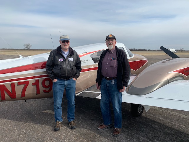
On March 21st he called and said conditions were right. He flew his 4-seater Piper Cherokee plane to Rooks County Regional Airport to pick up Dr. Oliva and then to our airport so we could board. We spent the next hour surveying the landscape for evidence. Flying over Hodgeman County, we noticed it had more pasture and less cultivation. After much circling and searching, Dr. Oliva and Mr. King thought they had found a place that might be trail ruts. I added a notation to my map.
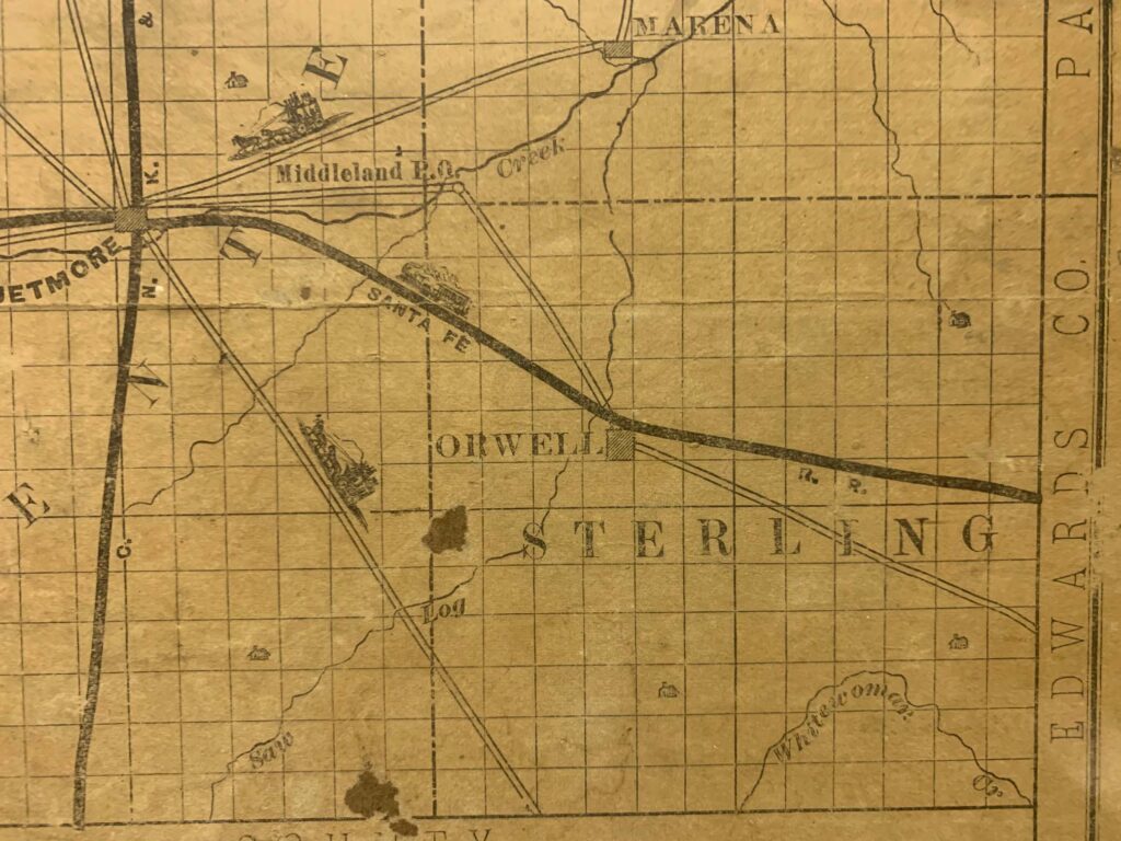
Now we were hot on the trail, so to speak. The next week, longtime Jetmore resident, Duane Shiew, met us and Dr. Oliva at the museum where he serves on the board. Imagine our excitement to learn that they had recently acquired an early map of Hodgeman County, and the trail was drawn on it! When the trail left Hodgeman County, it connected right up to where John J Riisoe said it was in Edwards County! The old map on the courthouse wall was either incorrectly drawn or there had briefly been another route.
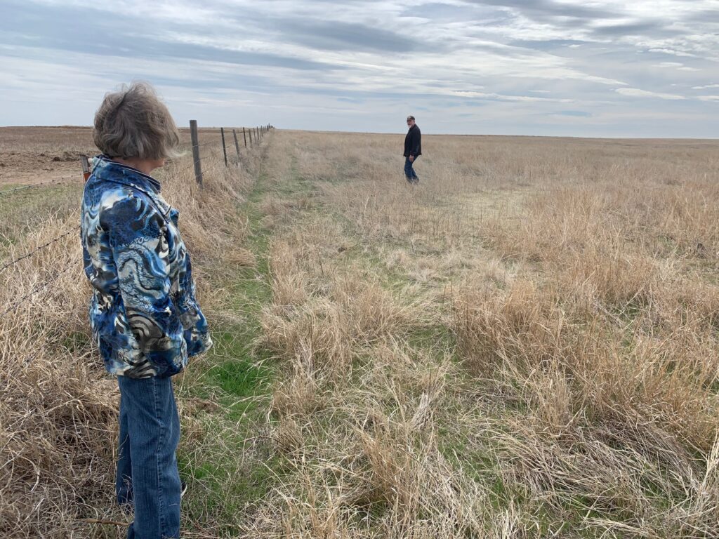
Dr Oliva southeast of Stone Post Dairy Rosetta and Dr. Oliva at Shiew rut site.
Road K
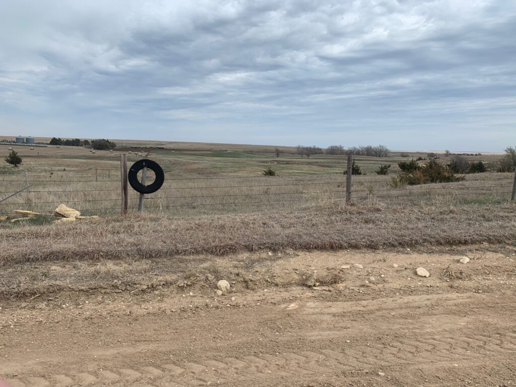
Orwell today (H Road and #228) Morton City site (M Road & #222)